To protect and restore seagrass, we need reliable maps showing where seagrass is growing and how this is changing over time.
Global seagrass distribution and status is difficult to map and monitor, largely due to its widespread distribution and the relatively limited scientific resources focused on seagrass. Mapping work to date has been a slow and expensive process with the status of many seagrass meadows remaining unknown.
However, by combining emerging technology with community-powered science we can speed up this process.
A recent study has developed a novel deep learning model ( SGDenseNet) that uses satellite imagery to map seagrass meadows more efficiently. To test the accuracy of the model, the researchers used SeagrassSpotter data to help validate the study.
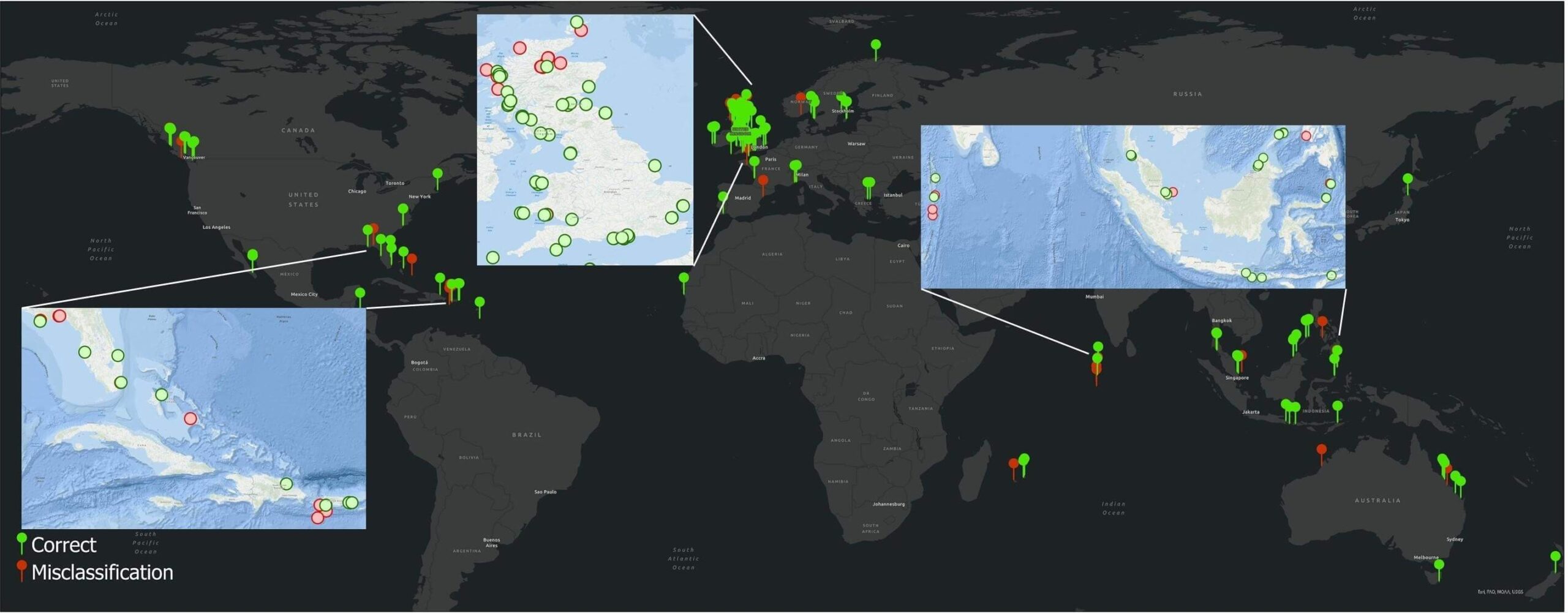
How SeagrassSpotter Data Helped
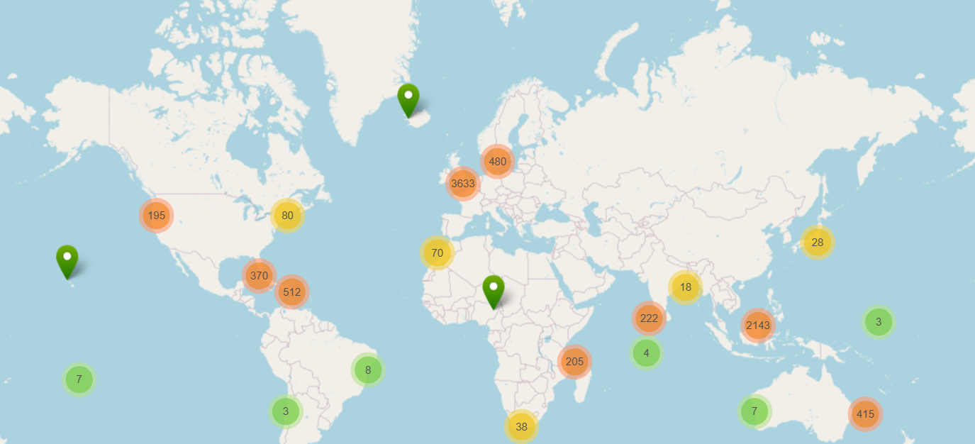
Researchers used 1,067 independent seagrass field data samples from SeagrassSpotter to test the accuracy of their deep learning model. The SGDenseNet model correctly identified seagrass 81% of the time when compared to real-world SeagrassSpotter data suggesting the model has significant potential for helping researchers track seagrass globally, making conservation efforts more targeted and effective.
One of the biggest challenges in mapping seagrass is telling seagrass apart from similar-looking underwater habitats such as algae, coral, and sand. These environments often have overlapping spectral signatures—essentially, the way different materials reflect light—which makes them hard to distinguish using traditional methods. By using deep learning, the SGDenseNet model was able to analyse subtle spatial differences and improve accuracy significantly. It’s for these reasons that we created a separate “absence” feature within SeagrassSpotter, to track places where seagrass isn’t growing, which can help researchers differentiate different habitats that may look like seagrass from space.
We often get asked, “Where does SeagrassSpotter data go?”
This study is a perfect example of how your contributions help to drive real scientific progress. By sharing your sightings, you’re not just taking a photo—you’re helping scientists build better tools to protect seagrass around the world.
SeagrassSpotter data has also been utilised as part of other research including a study assessing how genetic variation and genetic differentiation vary among Zostera marina meadows in Northern Europe and as part of a study assessing the effect of wave exposure on sedimentary carbon and nitrogen accumulation in Zostera marina meadows at the Swedish west coast.
Want to be part of this effort? Download the SeagrassSpotter app, log your sightings, and make a difference for the future of our oceans!

