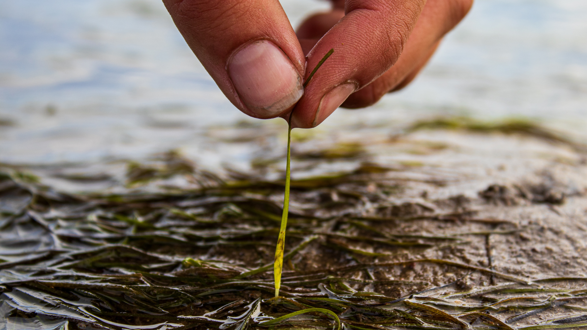
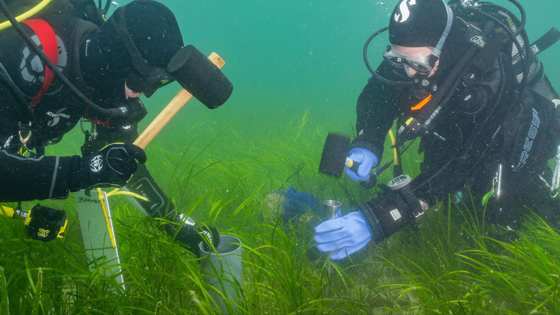
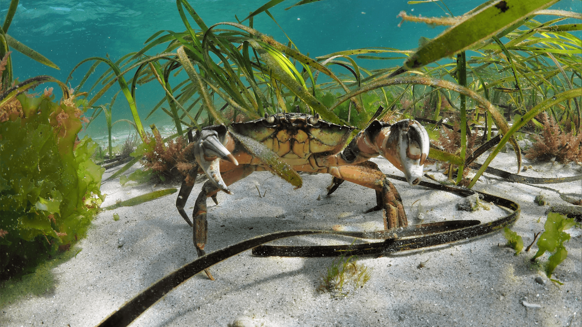
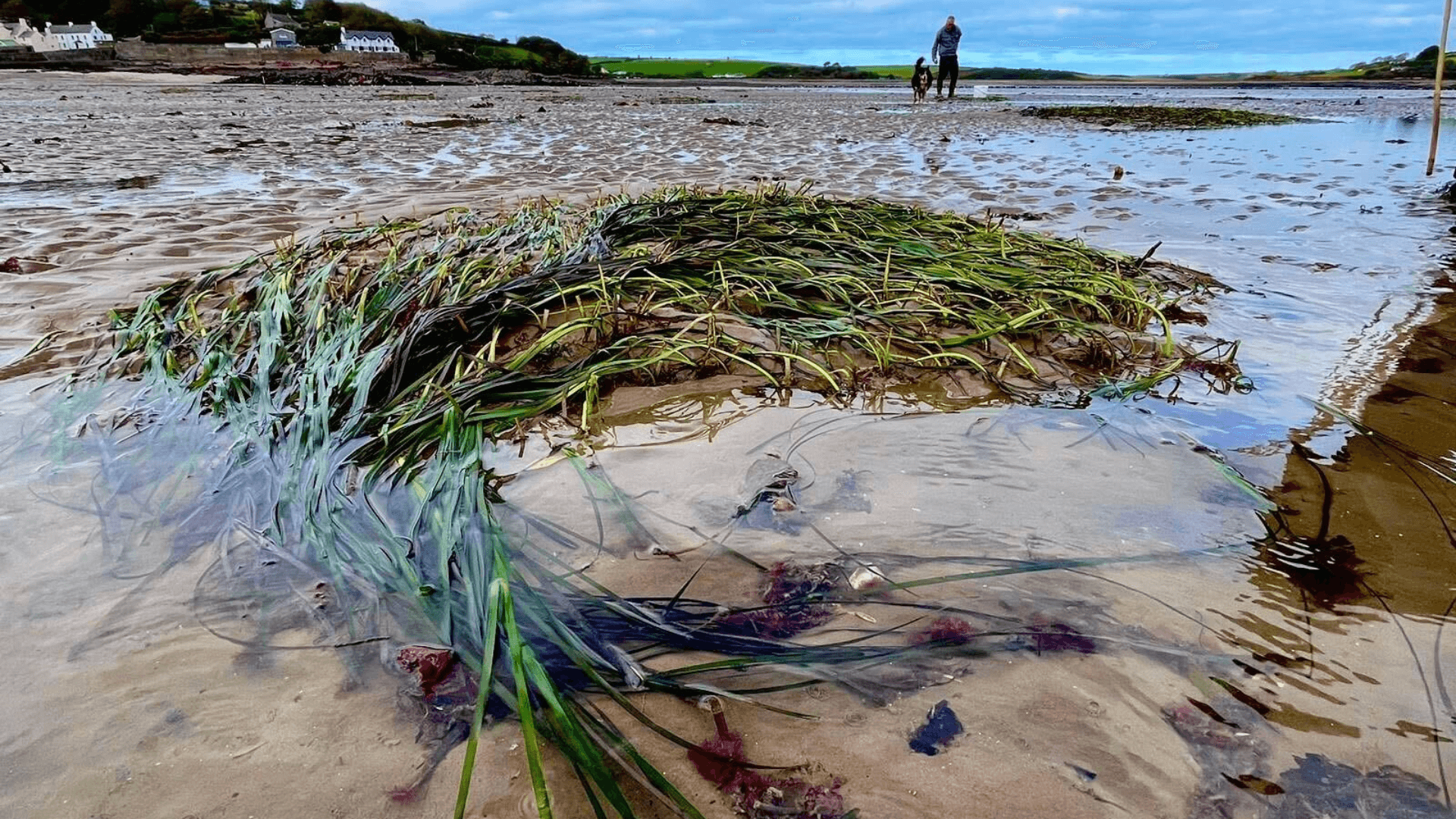
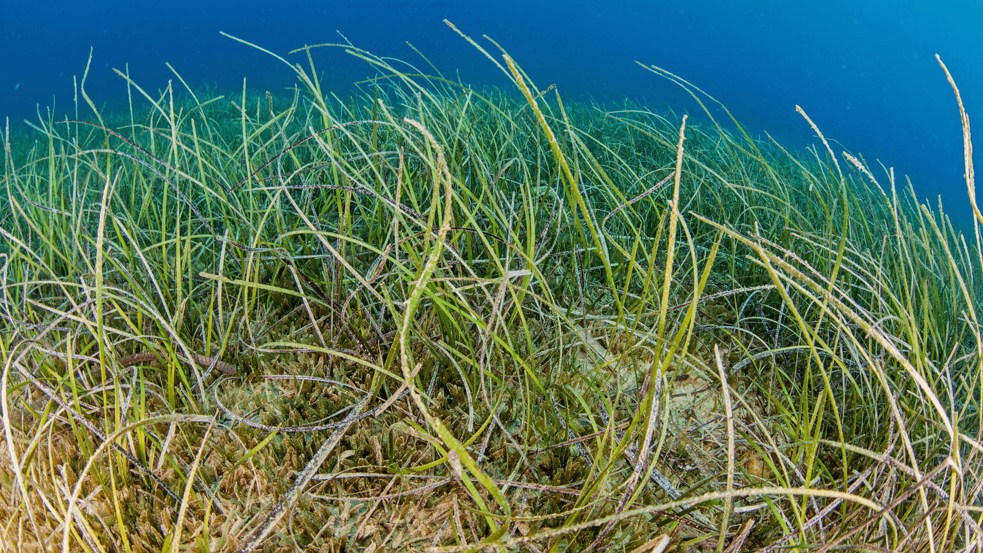
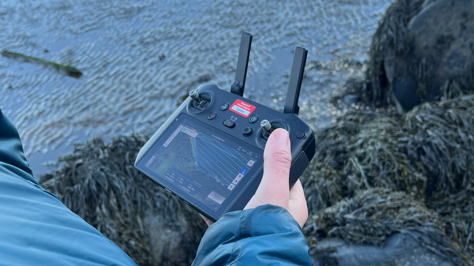
Accelerate Seagrass is a collaborative program being delivered by Climate Impact Partners, Deloitte, Project Seagrass, and the National Oceanography Centre which aims to support groundbreaking research into seagrass carbon sequestration and unlock long-term finance to save and reinstate vital seagrass meadows. Part of this programme of work involves collaborating with community groups across Scotland to develop knowledge of historic and current seagrass meadows and the threats facing Scottish seagrass today In this blog, our interns Ewan Garvey and Jasper Brown explain the process of site selection at Project Seagrass. Site selection is a process that allows Project Seagrass to identify locations where experimental work or restoration is most likely to succeed. It involves the analysis of existing information, suitability models, and field data. As seagrass meadows are complex ecosystems, these steps are necessary to ascertain the most suitable site for a work package to take place at. 1. Existing Information Often, the first aspect is creating a database of all information surrounding seagrass in the area, including: current and past research, intertidal maps, local knowledge and satellite images. Key information is gathered from: SeagrassSpotter – for recent presence of seagrass as well as species, area cover and sediment type. Historical records – often from local surveys carried out by councils and fisheries. This is used to try quantify the meadow recession or growth. ⁽¹⁾ By collecting this information, we validate the presence of seagrass at sites of interest, and begin to understand potential issues. A screenshot of Seagrass Spotter includes spotter points used in Buent Island survey 2. Habitat Suitability Modelling Habitat suitability modelling is used to compare the characteristics of viable sites. It uses data such as: Temperature, Bathymetry, Salinity, Light availability. The model is created through the use of software like MaxEnt, by inputting many datasets to quantify the likelihood of seagrass presence/ the ability of the environment to sustain seagrass. ⁽²⁾ Limitations: HSMs are only as good as the data they are based on Marine habitats often have very little data on them This means it’s only a small piece of a larger picture 3. Field Data collection and analysis In addition to the collection and modelling of existing data, we visit field sites to gather baseline monitoring data. Typically, we collect data on: the presence of seagrass, the health of the seagrass, reproductive state, and the local environment – such as sediment type. These datasets are collected through sediment and core samples as well as seagrass blade lengths and abundance counts. Common Difficulties: Land access – some sites can be quite remote, therefore making field surveys difficult. Permissions from both governing bodies and landowners. Ensuring the work doesn’t interfere with other projects on the land. 4. Selection By combining these data, the project lead, along with other experienced ecologists, can assess the suitability of each site for the proposed work package. Project Seagrass is currently working on a numerical system for grading the suitability of sites, to make site selection decisions more transparent. Once the most suitable sites are selected, Project Seagrass can begin to formally seek permissions from governing bodies and landowners. 5. Future Developments Site selection, just like seagrass science, is continuously evolving as new methods, theories and techniques are developed and tested. This means that the models used are constantly changing to produce more accurate and reliable results. Current Site Selection Research: LUSI scores allow the impacts of land on marine environments to be quantified. ⁽³⁾ Use of multiple models such as MaxEnt, cross validation, and threshold probability for model validation has been shown to produce more effective outputs. ⁽²⁾ A Habitat suitability model used for work in Burnt Island, Scotland References Thurstan, R.H., McClenachan, L., Crowder, L.B., Drew, J.A., Kittinger, J.N., Levin, P.S., Roberts, C.M. and Pandolfi, J.M. (2015). Filling historical data gaps to foster solutions in marine conservation. Ocean & Coastal Management, 115, pp.31–40. doi:https://doi.org/10.1016/j.ocecoaman.2015.04.019 Bertelli, C.M., Stokes, H.J., Bull, J.C. and K.F. Unsworth, R. (2022). The use of habitat suitability modelling for seagrass: A review. Frontiers in Marine Science, 9. doi:https://doi.org/10.3389/fmars.2022.997831. Flo, E., Garcés, E. and Camp, J. (2019). Land Uses Simplified Index (LUSI): Determining Land Pressures and Their Link With Coastal Eutrophication. Frontiers in Marine Science, 6. doi:https://doi.org/10.3389/fmars.2019.00018..