Seagrass Ocean Rescue: Solent — establishing the foundations for seagrass restoration and conservation across the Solent
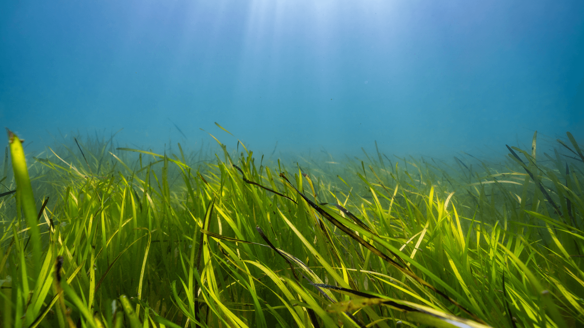
Between 2022 and 2025, the Seagrass Ocean Rescue: Solent project brought together scientists, practitioners, stakeholders, and local communities to explore the potential for seagrass restoration and conservation across the Solent. Funded by WWF and delivered in partnership with Project Seagrass, Swansea University, and Liz Earle, the project laid critical foundations for long-term seagrass restoration and conservation across the Solent and Isle of Wight, acting as a catalyst for habitat recovery, protection, and increased investment. Seagrass meadows are essential ecosystems. They support biodiversity, stabilise coastlines, and capture carbon. Yet across the UK, these habitats have declined significantly, particularly within the last century. The Seagrass Ocean Rescue: Solent project set out to answer two key questions: 1) Can seagrass, in this case Zostera marina, be successfully restored and reestablished in the Solent’s intertidal zone, and 2) Which restoration methods are most effective in ensuring long-term growth and survival Co-designing seagrass restoration at scale Working collaboratively with regulatory bodies and key stakeholders, the Seagrass Ocean Rescue: Solent project began with a period of extensive survey work. The aim of this phase of the project was to understand the current mapped seagrass in the Solent, develop understanding of seagrass meadow reproduction to inform donor meadow selection for seagrass seed collections, develop understanding of meadow health and biodiversity within Solent seagrass meadows, and determine site selection for experimental planting trials. Current extent of seagrass in the Solent The Project Seagrass team made use of multiple open-source data platforms to carry out an assessment of the currently mapped seagrass meadows in the Solent and Isle of Wight. This review built upon estimates of 698 hectares of seagrass meadows around the Isle of Wight from surveys conducted by the Hampshire and Isle of Wight Wildlife Trust between 2006-2014. As part of this data review, the team identified notable discrepancies between predicted seagrass absence and field survey evidence showing that seagrass was in fact present. Field-based surveys revealed extensive Zostera marina meadows at locations including Seaview in the Isle of Wight that were not represented in available open-source mapping datasets, including those underpinning Habitat Suitability Models (HSMs). These findings indicate that a substantial proportion of seagrass meadows within the Solent and Isle of Wight remain unmapped, with significant implications for restoration planning, ecological research, and evidence-based policy development. These findings also highlight the need for a national-level review of seagrass distribution across the British Isles, as existing datasets may be outdated, unreliable, or not representative. To improve mapping efforts, Project Seagrass worked in collaboration with Ocean Infinity to map the seabed in the North Isle of Wight region using multibeam and side-scan surveys. Project Seagrass additionally carried out Unmanned Aerial Vehicle (UAV) surveys in 2021, 2022, and 2025 using a Wingtra fixed-wing UAV equipped with RGB and multispectral sensors. These surveys will be expanded into an annual monitoring programme for the duration of Project Seagrass’ involvement at sites in the Solent, providing long-term temporal evidence of seagrass spatial extent and growth. Mapping data generated through the Seagrass Ocean Rescue: Solent project will be shared with Natural England to support updates to the National Seagrass Layer where appropriate, enhancing knowledge surrounding seagrass presence in the area and identifying gaps for future research. Identifying meadows for seagrass seed collection The team undertook surveys to identify the most suitable Solent seagrass meadows for seed collection. These seeds would go on to be used for experimental planting to investigate which restoration methods were most effective in ensuring long-term growth and resilience. Researchers from Swansea University and Project Seagrass worked in collaboration with Natural England, Ocean Conservation Trust and the Hampshire and Isle of Wight Wildlife Trust to undertake 12 seagrass meadow surveys within 8 seagrass meadows around the Solent. Meadows surveyed included, Beaulieu, Bembridge, Boldnor West and Boldnor East, Cowes, Osborne Bay, Ryde, Totland, and Yarmouth. These sites were selected based on prior knowledge of seagrass meadow presence with the aim of understanding which meadow to source seeds from. The surveys assessed factors such as seagrass cover, shoot density, and reproductive effort. Following these surveys, Osborne Bay was selected as the donor meadow for the seed collection for this study. Meadow health surveys Seagrasses are sensitive to environmental change and as part of the project researchers undertook an assessment of the condition of the region’s seagrass meadows. Some of the seagrass meadows in the Solent and Isle of Wight areas were found to be in a healthy and potentially resilient state. However, in many locations, seagrass health was found to be generally compromised by indicators of eutrophication, particularly within the harbours, with signs of light limitation, stress, and low resilience. Water quality is clearly a major influence upon seagrass in the region, and the team recorded consistently high nitrogen and phosphorus values, indicating that most meadows were subject to some level of catchment runoff that has the potential to influence seagrass. In some locations this runoff is close to compromising the future of the seagrass. This underscores that restoration efforts alone are not enough—long-term success depends on addressing broader environmental pressures. Annual meadow health and reproductivity monitoring occur annually and will build on knowledge and understanding of the health and status of the Isle of Wights’ seagrass meadows. Site selection for experimental planting Building on the data review and surveys, further pre-planting surveys were conducted to identify the most suitable locations for the in-situ experimental trials. Baseline survey methods included drop-down camera assessments, Secchi disk measurements to evaluate water clarity, Baited Remote Underwater Video (BRUV) surveys, and habitat mapping using large-scale multibeam sonar. In addition, walkover foot surveys were undertaken during extreme low spring tides, using point and transect-based approaches, to ground-truth existing spatial mapping data at selected sites. The team developed a decision matrix which was used to identify the most suitable sites for seagrass restoration. The matrix incorporated multiple criteria, including: Outputs from habitat suitability models Water quality metrics Spatial extent and condition of potential restoration areas Stakeholder considerations Identified stressors, and Evidence of recent changes in seagrass distribution.